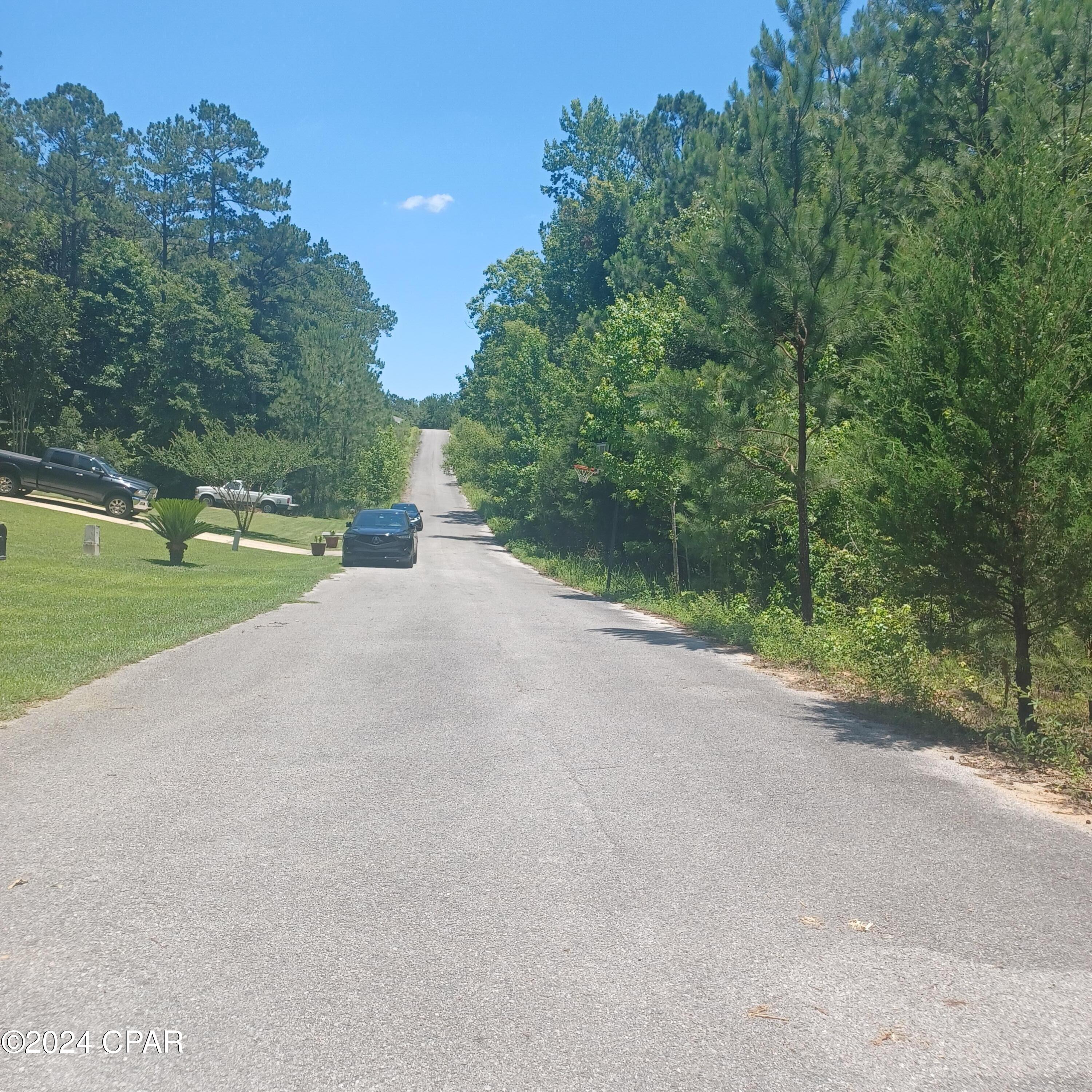
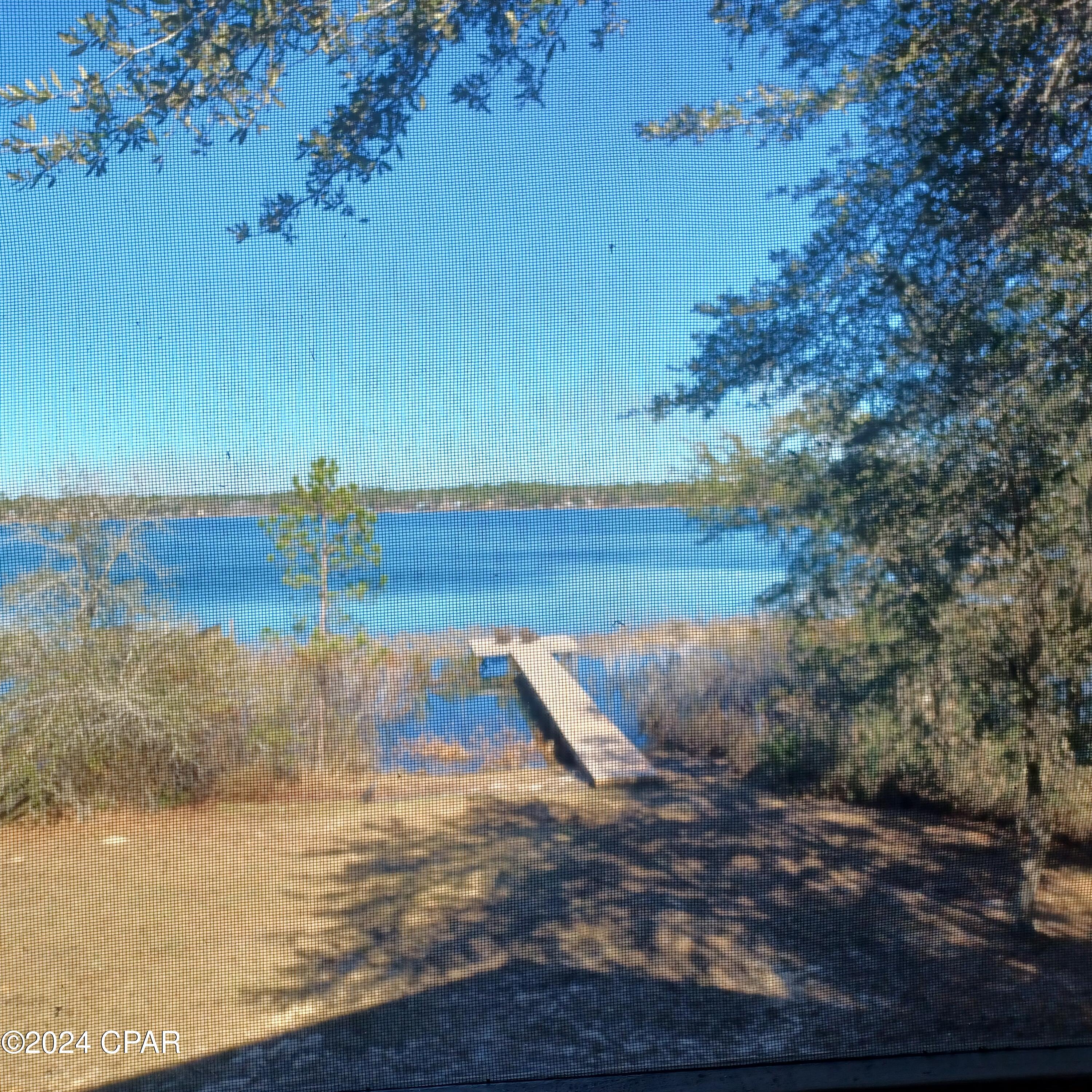
Lot 5 Pleasant Way, Defuniak Springs, FL 32435
Property Photos
Would you like to sell your home before you purchase this one?
Priced at Only: $45,500
For more Information Call:
Address: Lot 5 Pleasant Way, Defuniak Springs, FL 32435
Property Location and Similar Properties
- MLS#: 758357 ( Land )
- Street Address: Lot 5 Pleasant Way
- Viewed: 20
- Price: $45,500
- Price sqft: $0
- Waterfront: No
- Year Built: Not Available
- Bldg sqft: 0
- Days On Market: 202
- Additional Information
- Geolocation: 30.702 / -86.1729
- County: WALTON
- City: Defuniak Springs
- Zipcode: 32435
- Subdivision: Other
- Elementary School: West Defuniak
- Middle School: Walton
- High School: Walton
- Provided by: Dalton Wade Inc
- DMCA Notice
-
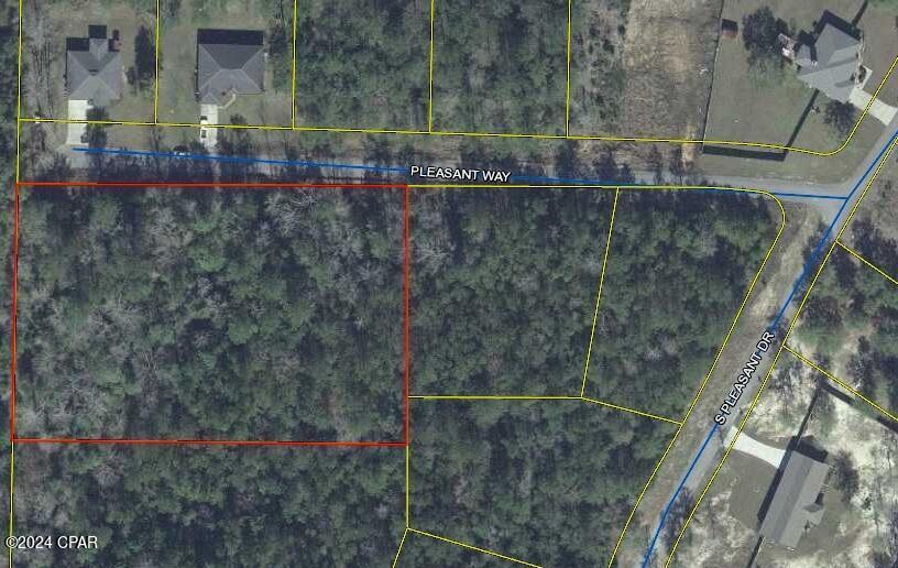
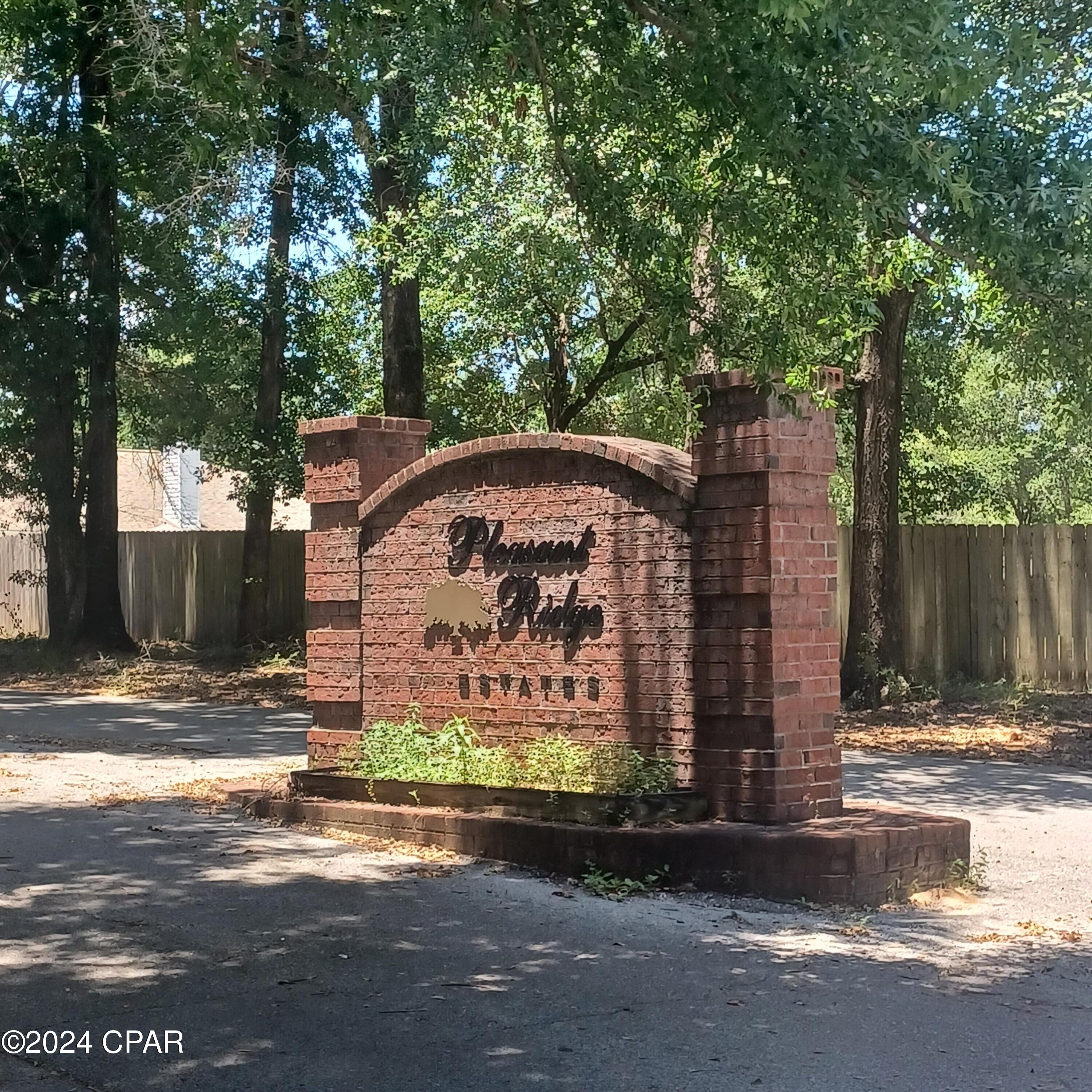
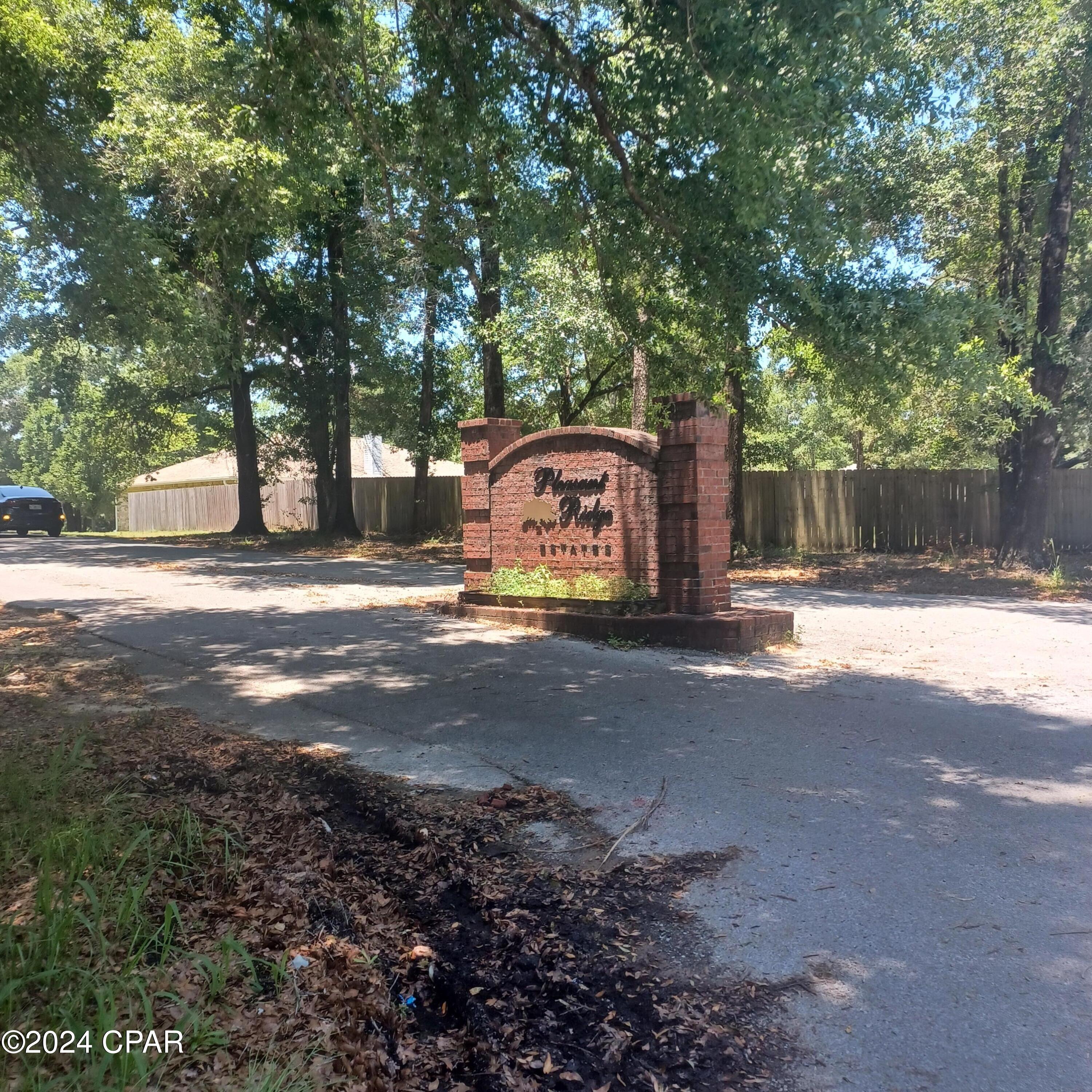
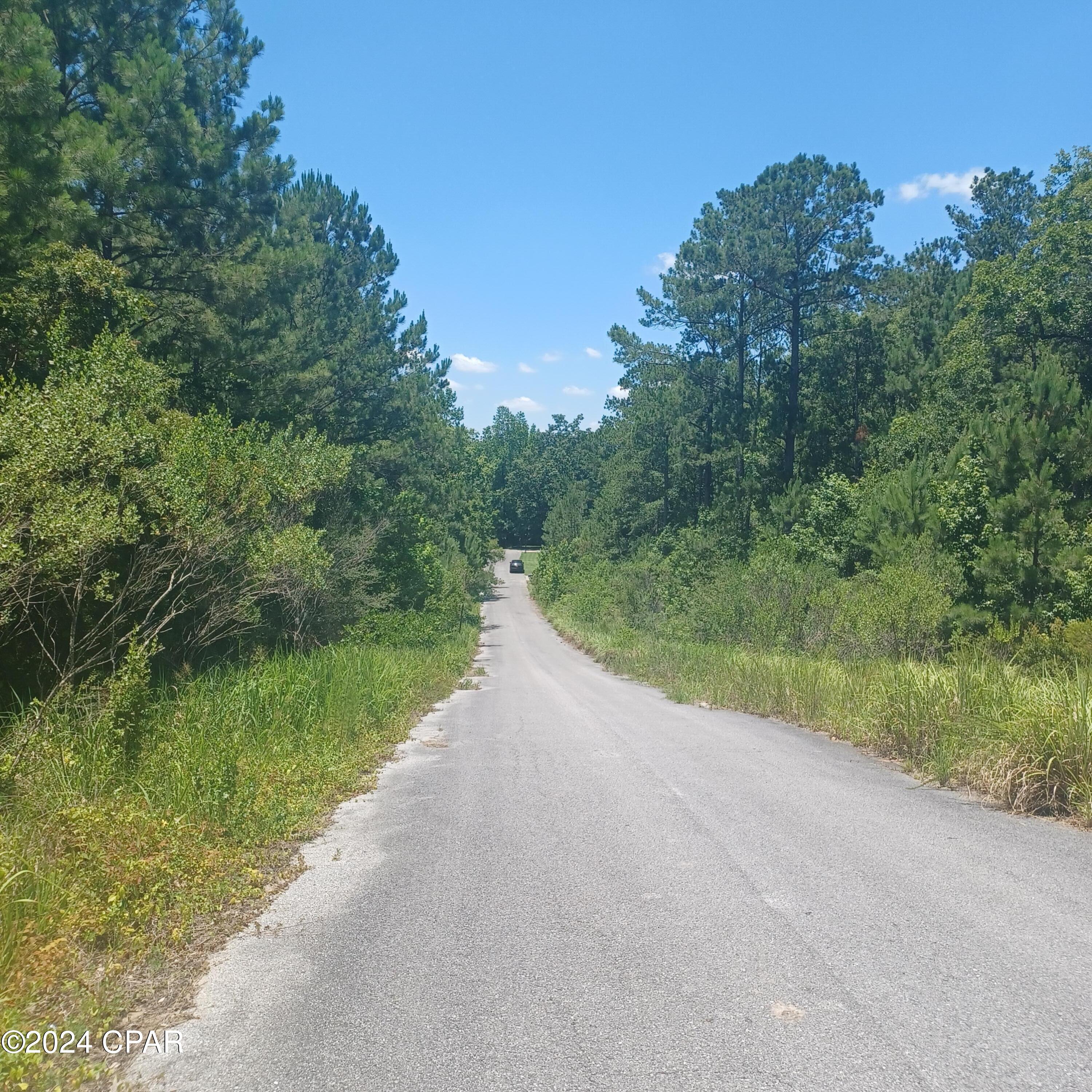
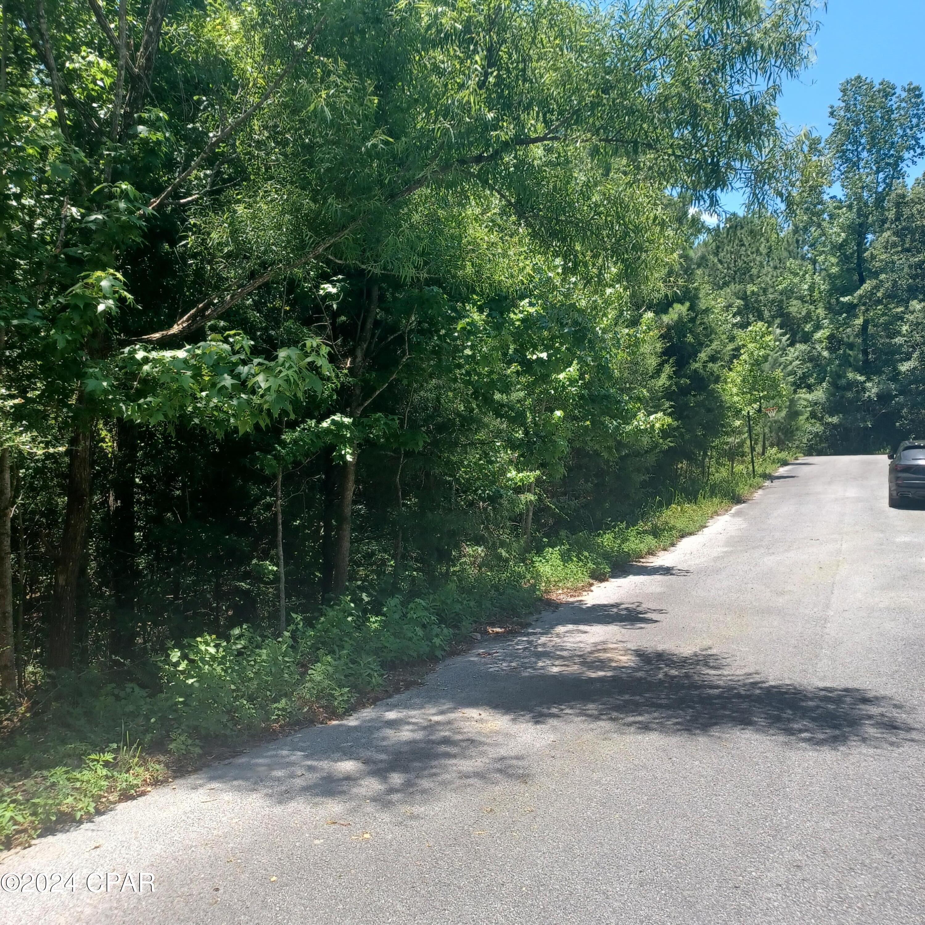
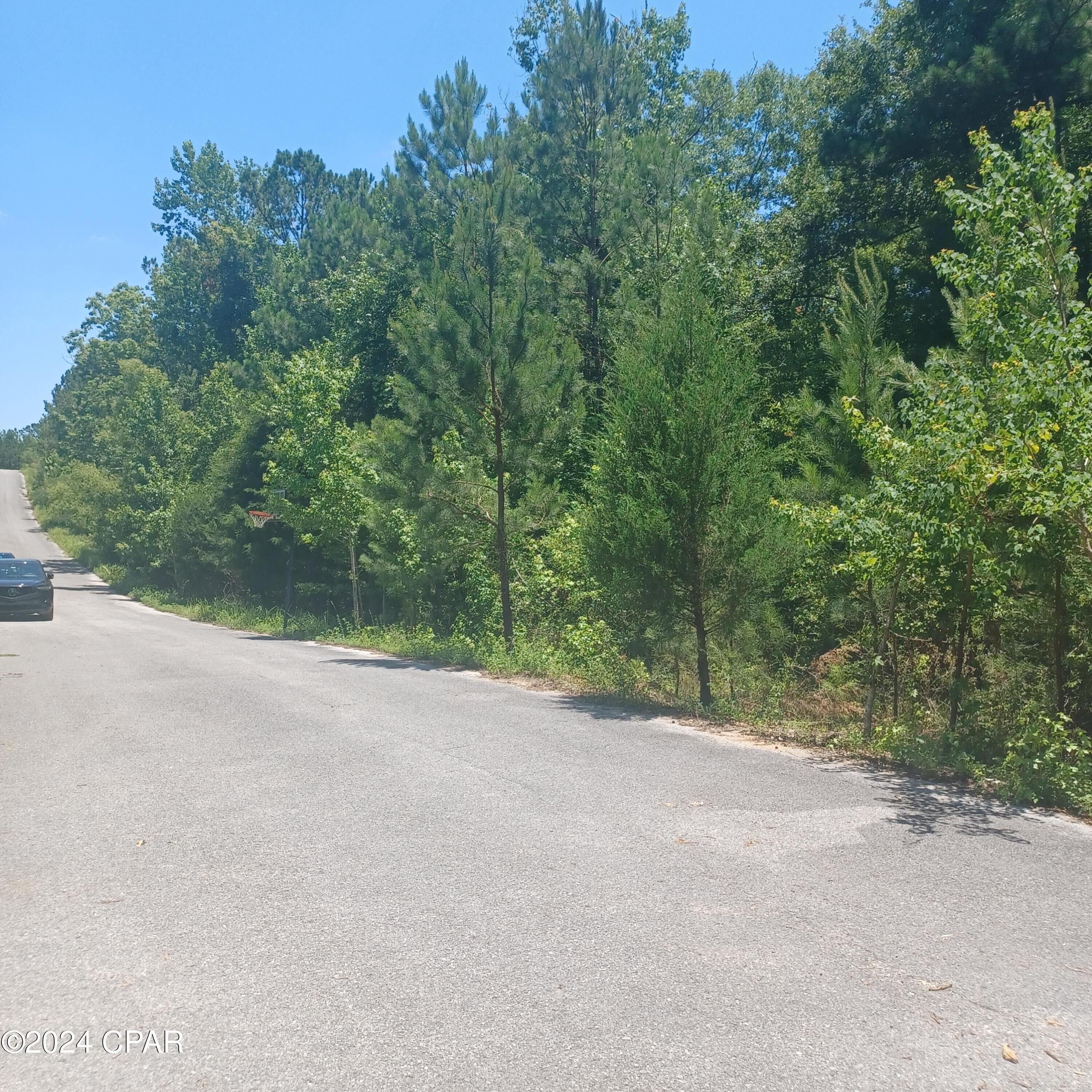
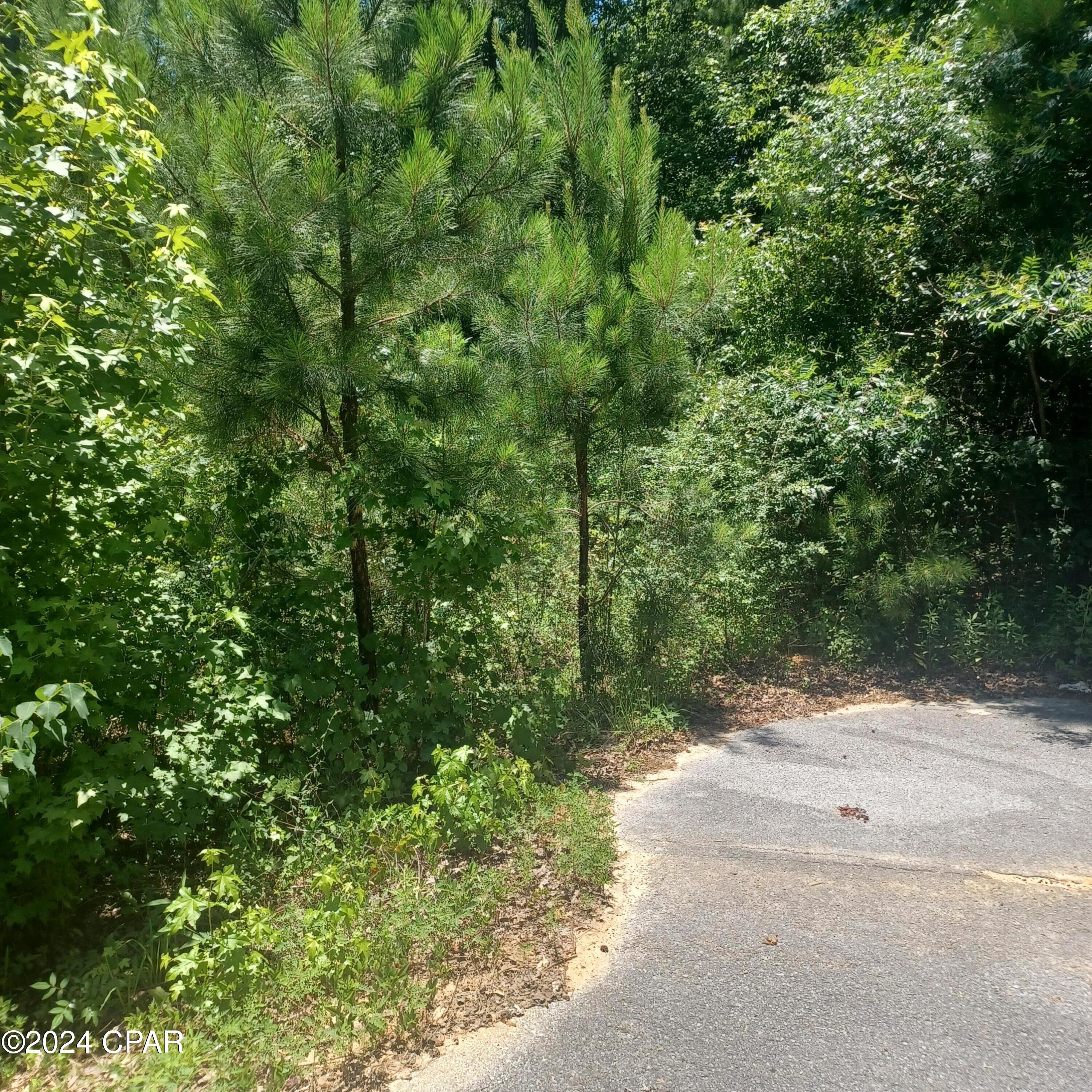
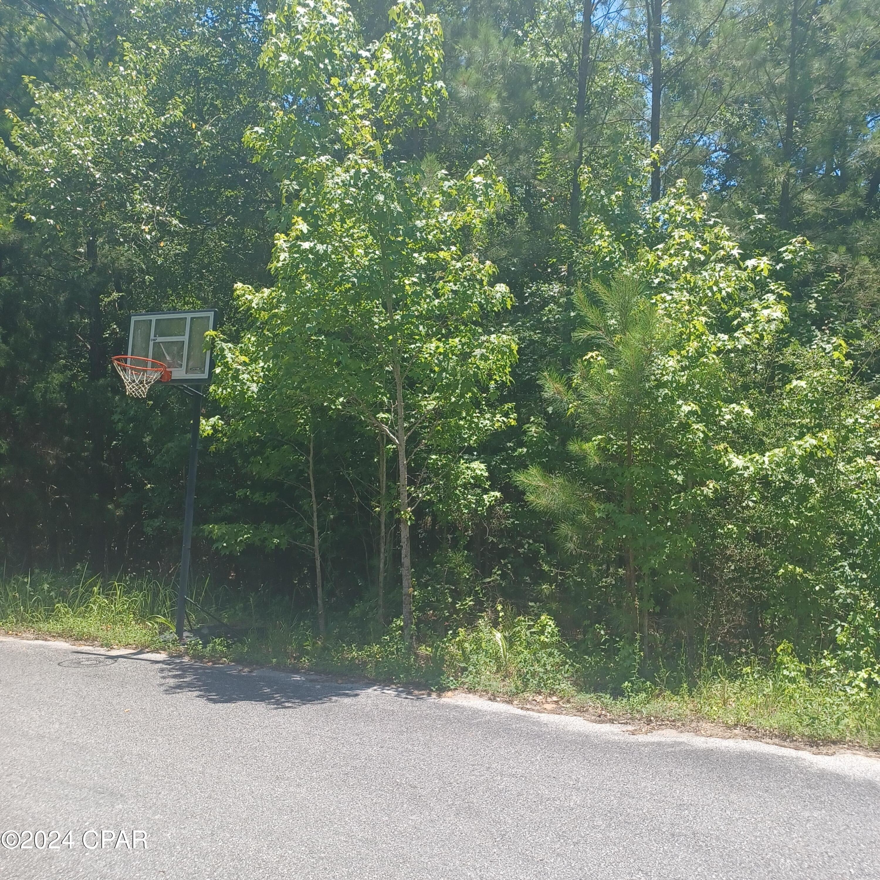
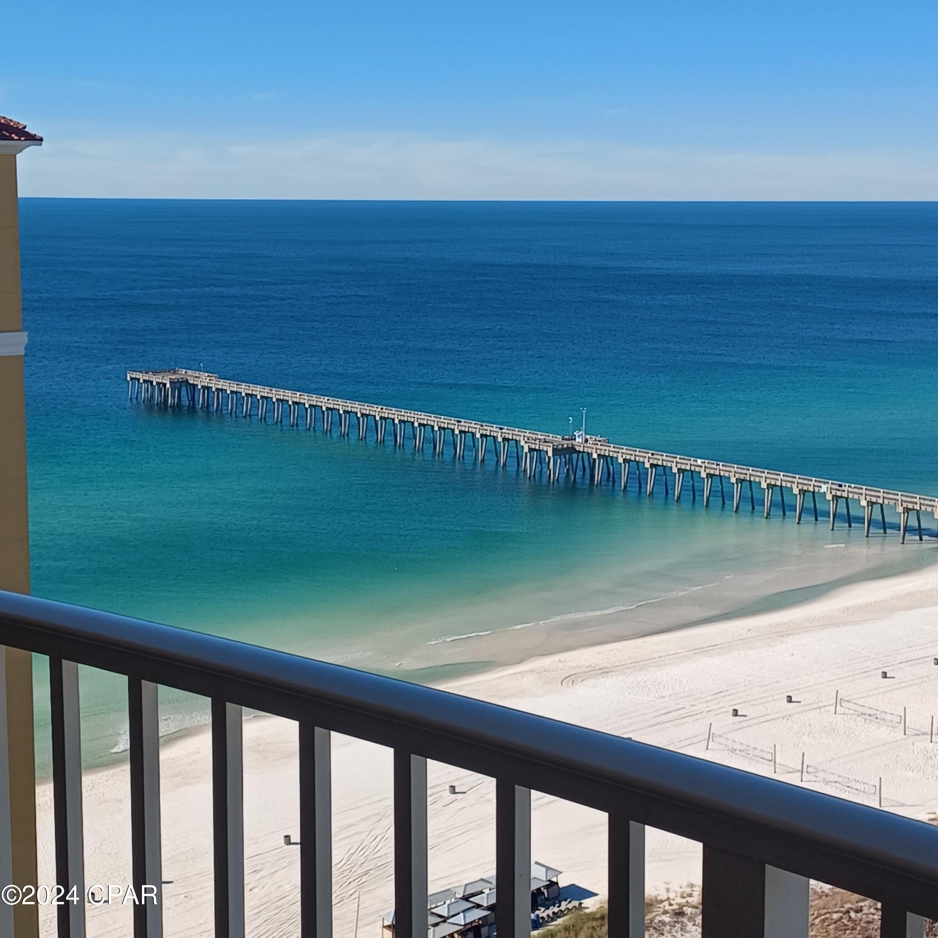
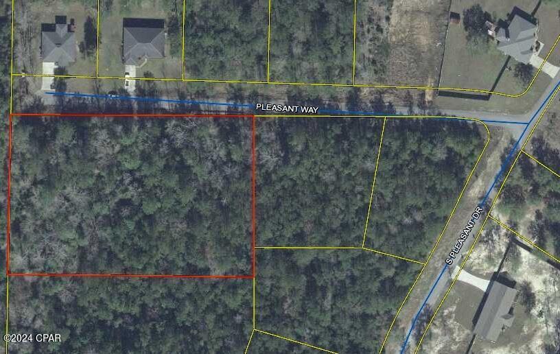
DescriptionOver 2 Acres 'NOT IN A FLOOD ZONE' to build you DREAM HOME! located in a quiet subdivision in Defuniak Springs with NO HOA fees! Close to shopping and south of I 10 less than 40 Minutes to our beautiful beaches!!All lots oversized offering you very private feel. This lot is at end of street with no back or side neighbors. Build at your own pace. Boundary Survey is available ask your favorite Realtor to get you all the documents and show you this one today.Buyer to verify all details.
Payment Calculator
- Principal & Interest -
- Property Tax $
- Home Insurance $
- HOA Fees $
- Monthly -
Features
Building and Construction
- Covered Spaces: 0.00
- Living Area: 0.00
School Information
- High School: Walton
- Middle School: Walton
- School Elementary: West Defuniak
Garage and Parking
- Garage Spaces: 0.00
- Open Parking Spaces: 0.00
Utilities
- Carport Spaces: 0.00
- Utilities: ElectricityAvailable
Finance and Tax Information
- Home Owners Association Fee: 0.00
- Insurance Expense: 0.00
- Net Operating Income: 0.00
- Other Expense: 0.00
- Pet Deposit: 0.00
- Security Deposit: 0.00
- Tax Year: 2023
- Trash Expense: 0.00
Other Features
- Legal Description: LOT 5 BLK C PLEASANT RIDGE ESTATES S/D OR 2310-1447 *DESCRIBED AS* COM AT 4X4 CONCRETE MONUMENT AT THE SW/C OF THE NW1/4, THENCE N00 DEG ''01'04''''W 812.34FT TO THE POB'' ''THENCE N 00 DEG 01'04''''W 242.66'' ''FT, THENCE S 89 DEG 42'26''''E'' 370.73FT, THENCE S 00 DEG O1 ''04''''E 244.85FT, THENCE N 89 DEG'' ''22'07''''W 357.75FT, THENCE N 89'' ''DEG 22'07''''W 13.00FT TO POB'' OR 2774-1037
- Area Major: 12 - Walton County
- Parcel Number: 05-2N-19-18010-00C-0050
- The Range: 0.00
- Views: 20
Nearby Subdivisions


