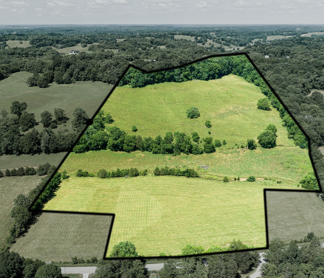
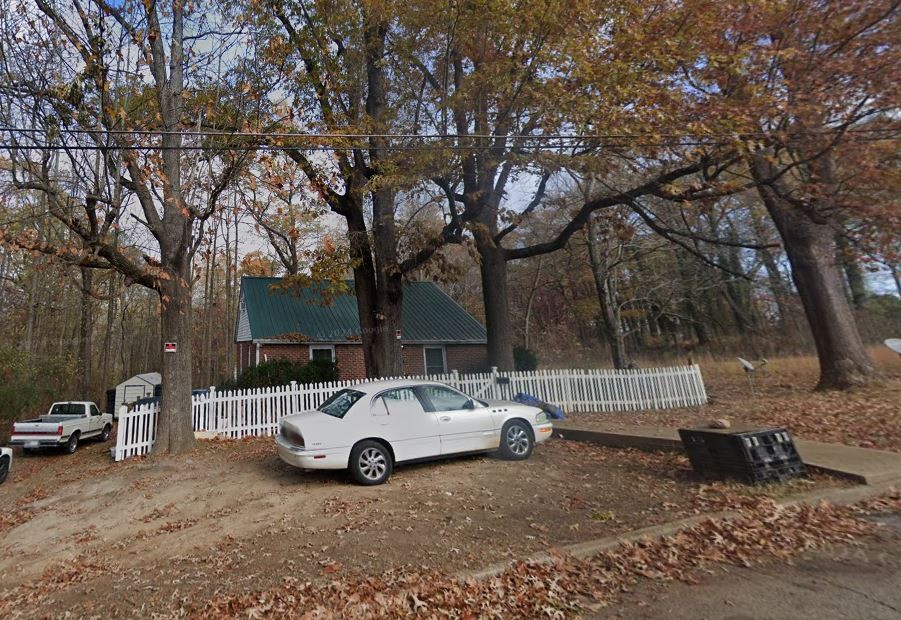
0 15 Street , OCALA, FL 34471
Property Photos

Would you like to sell your home before you purchase this one?
Priced at Only: $105,000
For more Information Call:
Address: 0 15 Street , OCALA, FL 34471
Property Location and Similar Properties
- MLS#: OM687015 ( Land )
- Street Address: 0 15 Street
- Viewed: 42
- Price: $105,000
- Price sqft: $0
- Waterfront: No
- Year Built: Not Available
- Bldg sqft: 0
- Days On Market: 89
- Additional Information
- Geolocation: 29.174 / -82.0872
- County: MARION
- City: OCALA
- Zipcode: 34471
- Subdivision: Maplewood
- Elementary School: Ward Highlands Elem. School
- Middle School: Fort King Middle School
- High School: Forest High School
- Provided by: DOVE ENTERPRISES REALTY & DEVE
- Contact: Lisa Nevels Slocumb
- 352-266-5313

- DMCA Notice
-
DescriptionWow, look at this, a lot in the City limits and almost an acre! This lot's location is just what the Dr. ordered, close to all the amenities you could want! Great Schools, Groceries, Places of worship, Ocala's amazing downtown that is filled with great restaurants, Banks and so much more! Come have a look and get the process started to building your new home!
Payment Calculator
- Principal & Interest -
- Property Tax $
- Home Insurance $
- HOA Fees $
- Monthly -
Features
Building and Construction
- Covered Spaces: 0.00
- Living Area: 0.00
School Information
- High School: Forest High School
- Middle School: Fort King Middle School
- School Elementary: Ward-Highlands Elem. School
Garage and Parking
- Garage Spaces: 0.00
Eco-Communities
- Water Source: Public
Utilities
- Carport Spaces: 0.00
- Road Frontage Type: City Street
- Sewer: Public Sewer
- Utilities: Electrical Nearby, Sewer Nearby, Water Nearby
Finance and Tax Information
- Home Owners Association Fee: 0.00
- Net Operating Income: 0.00
- Tax Year: 2023
Other Features
- Country: US
- Current Use: Residential
- Legal Description: SEC 22 TWP 15 RGE 22 PLAT BOOK C PAGE 100 MAPLEWOOD BLK A LOT 1 EXC BEG AT THE NE COR OF SAID LOT 1 TH S 00-04-28 W 180.06 FT TO A PT OF CURVATURE SAID CURVE HAVING A RADIUS OF 20 FT A CNTRL ANGLE OF 89-24-35 & A CHORD BEARING DISTANCE OF OF S 44-46- 46 W 28.14 FT TH SWLY ALG CURVE TO RGT 31.21 FT TO PT OF TANGENCY TH S 89-29-03 W 16.21 FT TH N 44-46-46 E 35.54 FT TH N 00-04-29 E 175.20 FT TO N LINE OF LOT 1 TH N 89-33-29 E ALG N LINE 11 FT TO POB
- Area Major: 34471 - Ocala
- Parcel Number: 29472-000-00
- Possession: Close of Escrow
- Views: 42
- Zoning Code: R1
Similar Properties
Nearby Subdivisions
Bellechase Cedars
Carriage Hill
Garys Add
Gilliams
Laurel Wood
Maplewood
Marion Oaks
Not In Subdivision
Not On List
Old Survey Ocala
Santa Maria Place
Sec 10 Twp 17 Rge 21plat Book
Sec 22 Twp 17 Rge 21plat Book
Seymours
Silver Spgs Shores Un 1
Silver Spgs Shores Un 10
Woodfield Crossing
Woodland Park


