Sw Hwy 17 , ARCADIA, FL 34266
Property Photos

Would you like to sell your home before you purchase this one?
Priced at Only: $494,500
For more Information Call:
Address: Sw Hwy 17 , ARCADIA, FL 34266
Property Location and Similar Properties
- MLS#: C7491549 ( Land )
- Street Address: Sw Hwy 17
- Viewed: 1
- Price: $494,500
- Price sqft: $0
- Waterfront: No
- Year Built: Not Available
- Bldg sqft: 0
- Days On Market: 249
- Additional Information
- Geolocation: 27.1835 / -81.8644
- County: DESOTO
- City: ARCADIA
- Zipcode: 34266
- Subdivision: Stark Estates
- Middle School: DeSoto Middle School
- High School: DeSoto County High School
- Provided by: BARNES & PHILLIPS REAL ESTATE
- Contact: Laura Stark
- 941-743-4200

- DMCA Notice
-
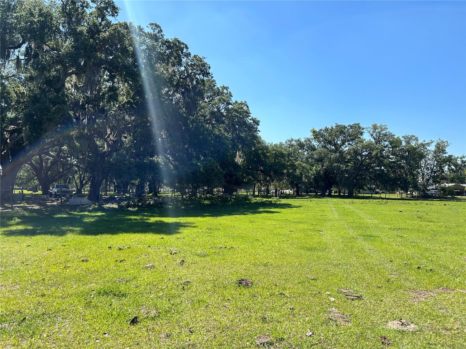
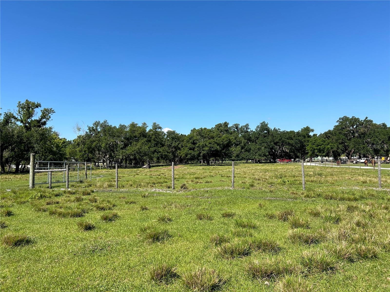
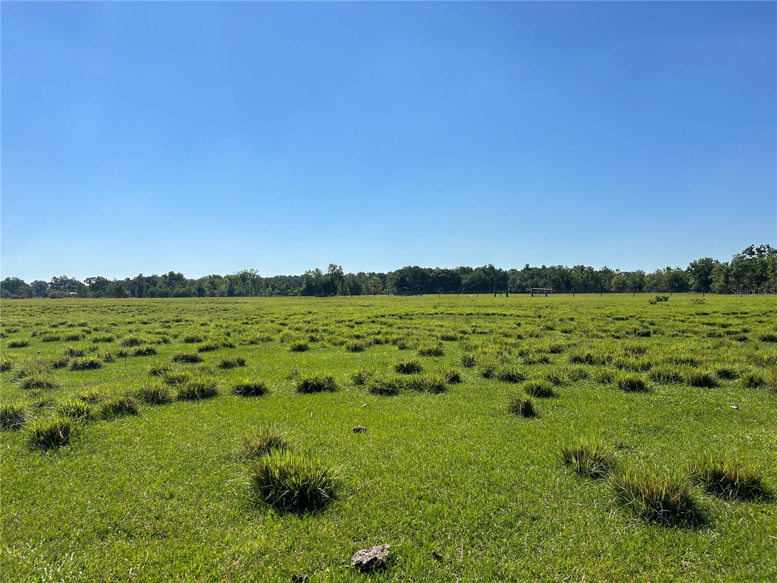
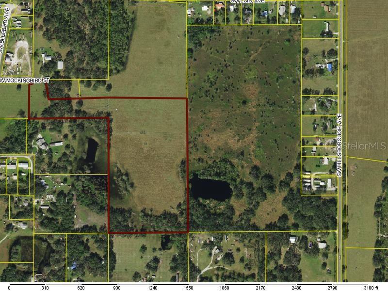
DescriptionThis piece of property is a hidden gem! Cleared and improved land that is ready for you to create your oasis. There are mature oak trees as you enter and then vast open land as you make your way back. There is a 4 inch solar powered well present and some loading pens. It's currently being used for cattle but potential future use of multi family. Best way to find property is to look up Mockingbird St, Arcadia
Payment Calculator
- Principal & Interest -
- Property Tax $
- Home Insurance $
- HOA Fees $
- Monthly -
Features
Building and Construction
- Covered Spaces: 0.00
- Fencing: Barbed Wire, Cross Fenced, Fenced
- Living Area: 0.00
Land Information
- Lot Features: Buildable, Cleared, Pasture
School Information
- High School: DeSoto County High School
- Middle School: DeSoto Middle School
Garage and Parking
- Garage Spaces: 0.00
Eco-Communities
- Water Source: None
Utilities
- Carport Spaces: 0.00
- Sewer: None
- Utilities: Electrical Nearby, Private
Finance and Tax Information
- Home Owners Association Fee: 0.00
- Net Operating Income: 0.00
- Tax Year: 2023
Other Features
- Country: US
- Current Use: Cattle
- Legal Description: STARK ESTATES SUB LOT 2. Commence at the NE corner of E 1/2 of NW 1/4 of Section 12, Township 38 South, Range 24 East, DeSoto County, Florida.; Thence S 00'34'11" W along E line of said tract, 860.40 feet to Point of Beginning. Thence continue same line 102.00 feet; thence S 89'35'45" W, 663.41 feet to a point on the West line of said tract; Thence N 00'34'05' E along said West line, 143.445 feet; Thence S 86'49'34" E, 664.00 feet to Point of Beginning
- Area Major: 34266 - Arcadia
- Parcel Number: 12-38-24-0000-0192-0020
- Zoning Code: A5
Nearby Subdivisions
A W Gilchrists Sub
Acreage
Cityarcadia
El Dorado Park
Floracadia Sub
Hidden Acres
Ho Dent Corp
Horse Creek Acres
Jefered Heights Sub
Joe Louis Farms
Joshua Creekwood
Laupert Sub
Lincoln Park
Meadowsarcadia
Not Applicable
Oak Crest
Peace River Highlands
Peace River Preserve
Peaceful Pine Acres 10
Stark Estates
Villa Rica Park
Welleswood Estates


